Wednesday, May 20, 2020
Day 11
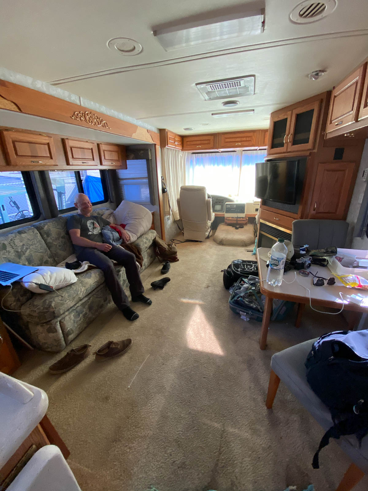
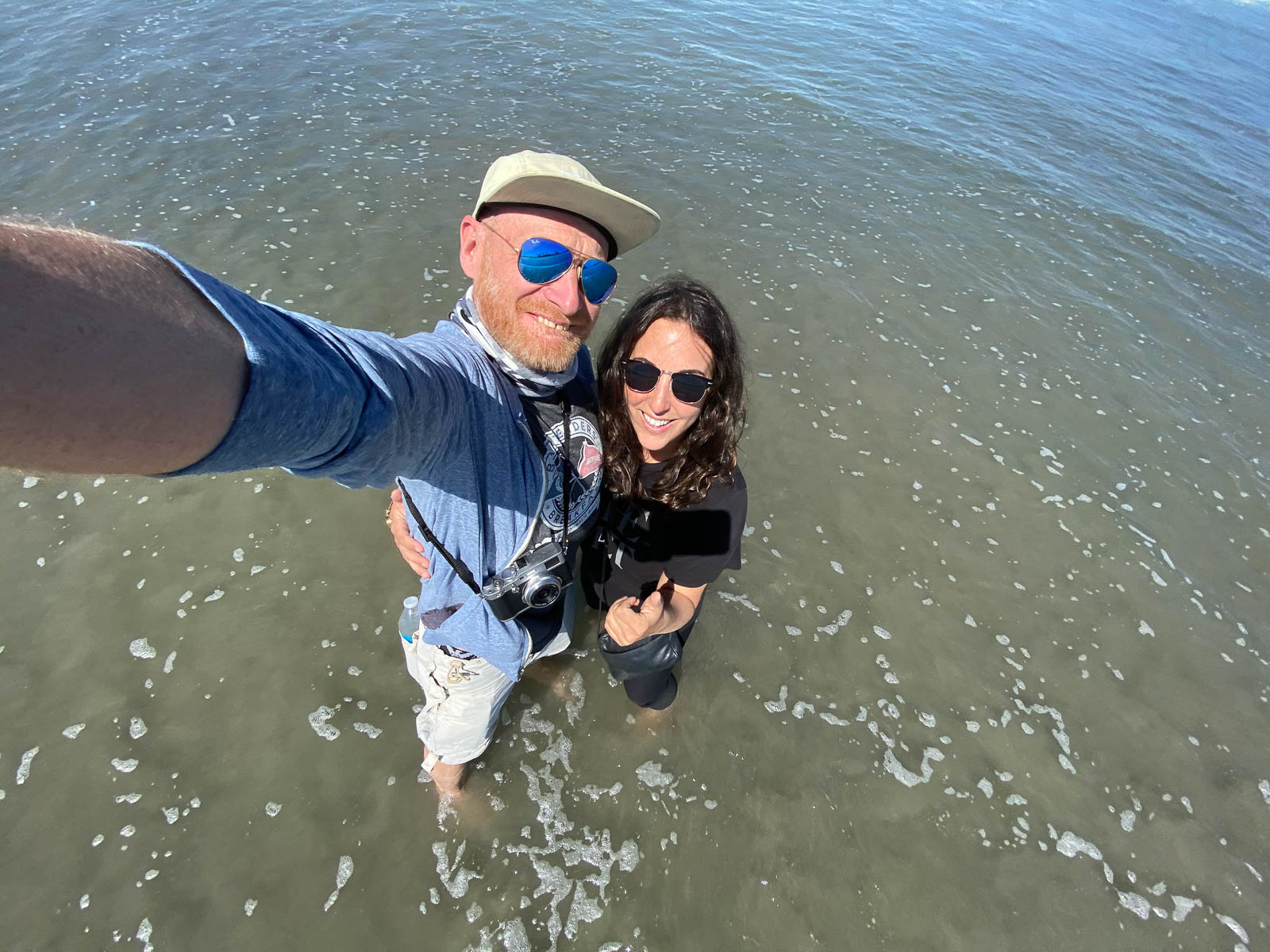
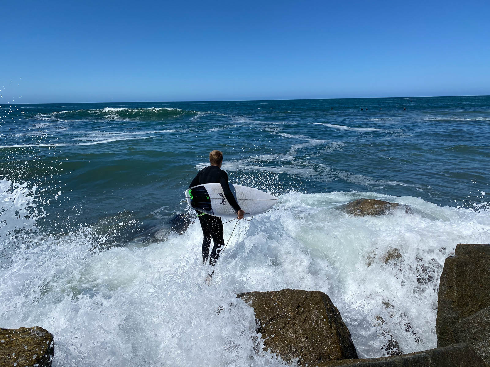
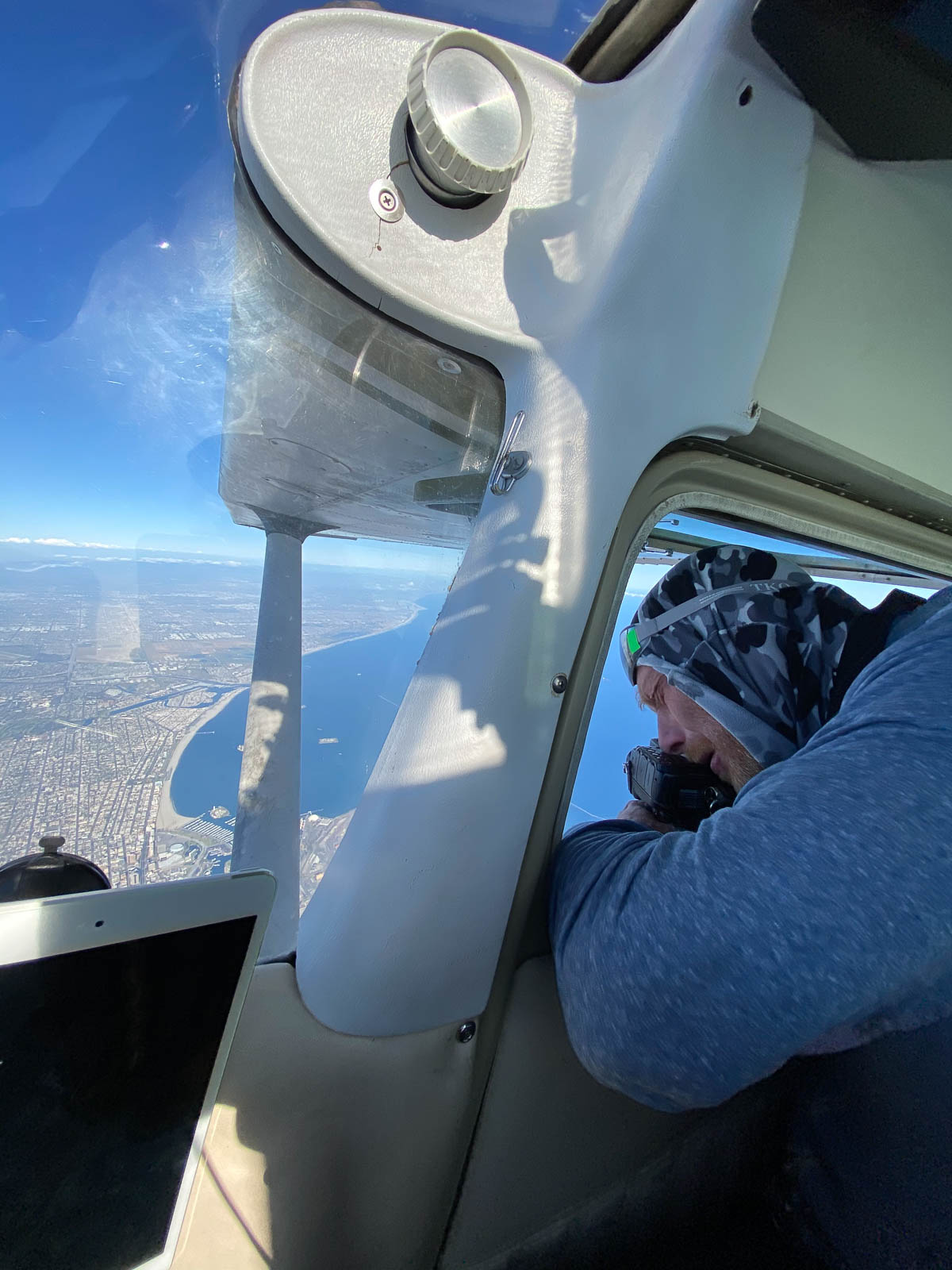
Waking up in Rick’s camper was utterly fantastic, we slept so well, and woke up in Oceanside refreshed and happy to be on the water. We decided to spend the morning on the beach—despite the strange beach rules we’d overheard such as people were only allowed to walk on the wet sand, not the dry sand—and Kelly from One Stop graciously drove us over there. It was pretty empty, and so good hanging on the Pacific, meeting surfers, climbing on jetties, getting drenched in the waves, and seriously celebrating officially making it coast to coast. So damn good for the soul.
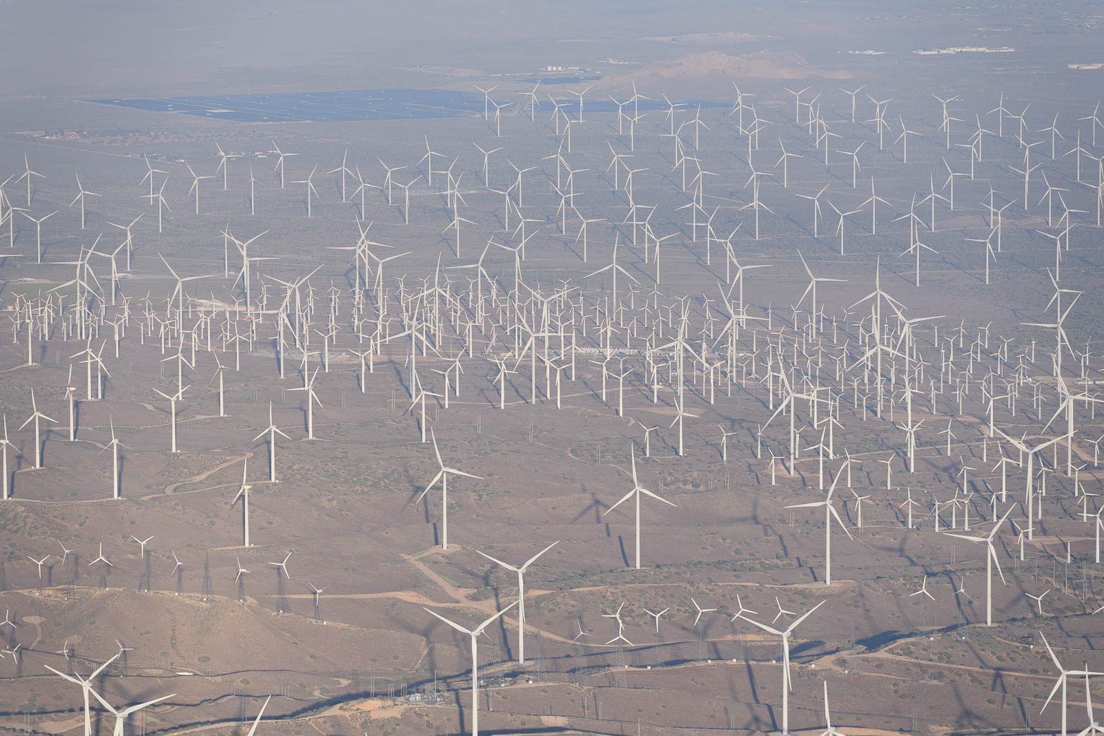
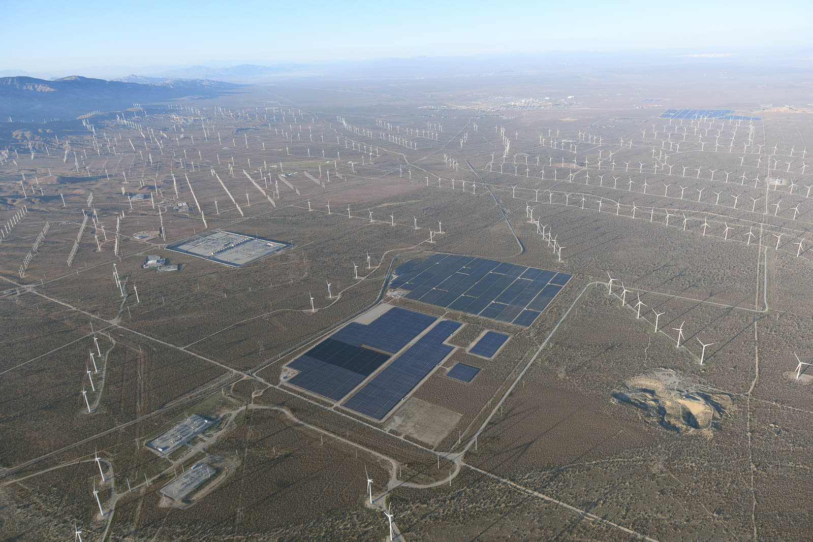
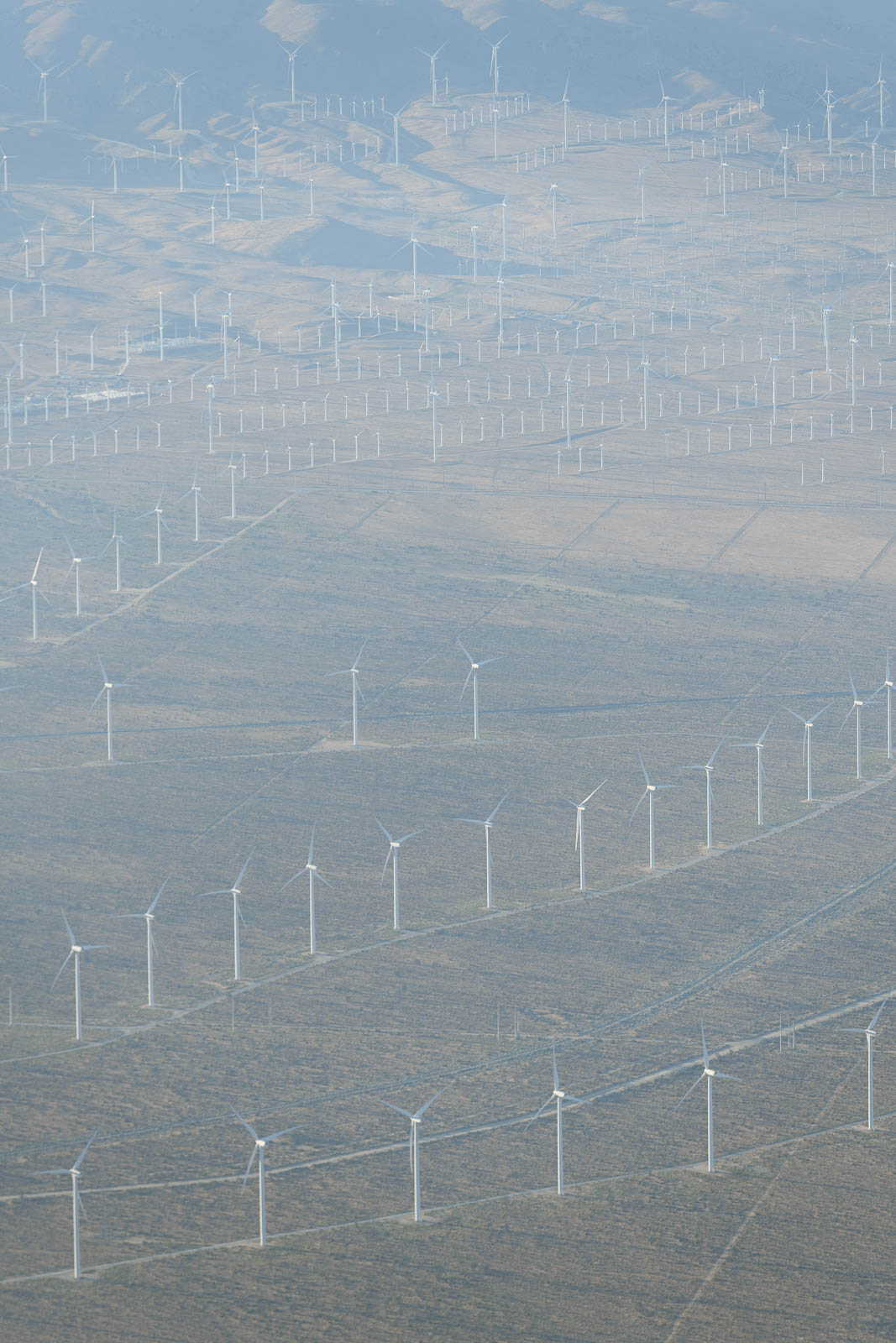
On our way out here, the return leg we’d planned was always through the south over El Paso, to photograph the desert and the border. However, some new inspiration came in the form of recommendations from pilots Greg Brown and Laurel Lippert, who inspired us to look to the central route home. This would take us further North and through the mountains again, passing over places like Death Valley, Vegas, Red Rocks, the Boneville Salt Flats, and more incredible geography we’d only dreamed of seeing.
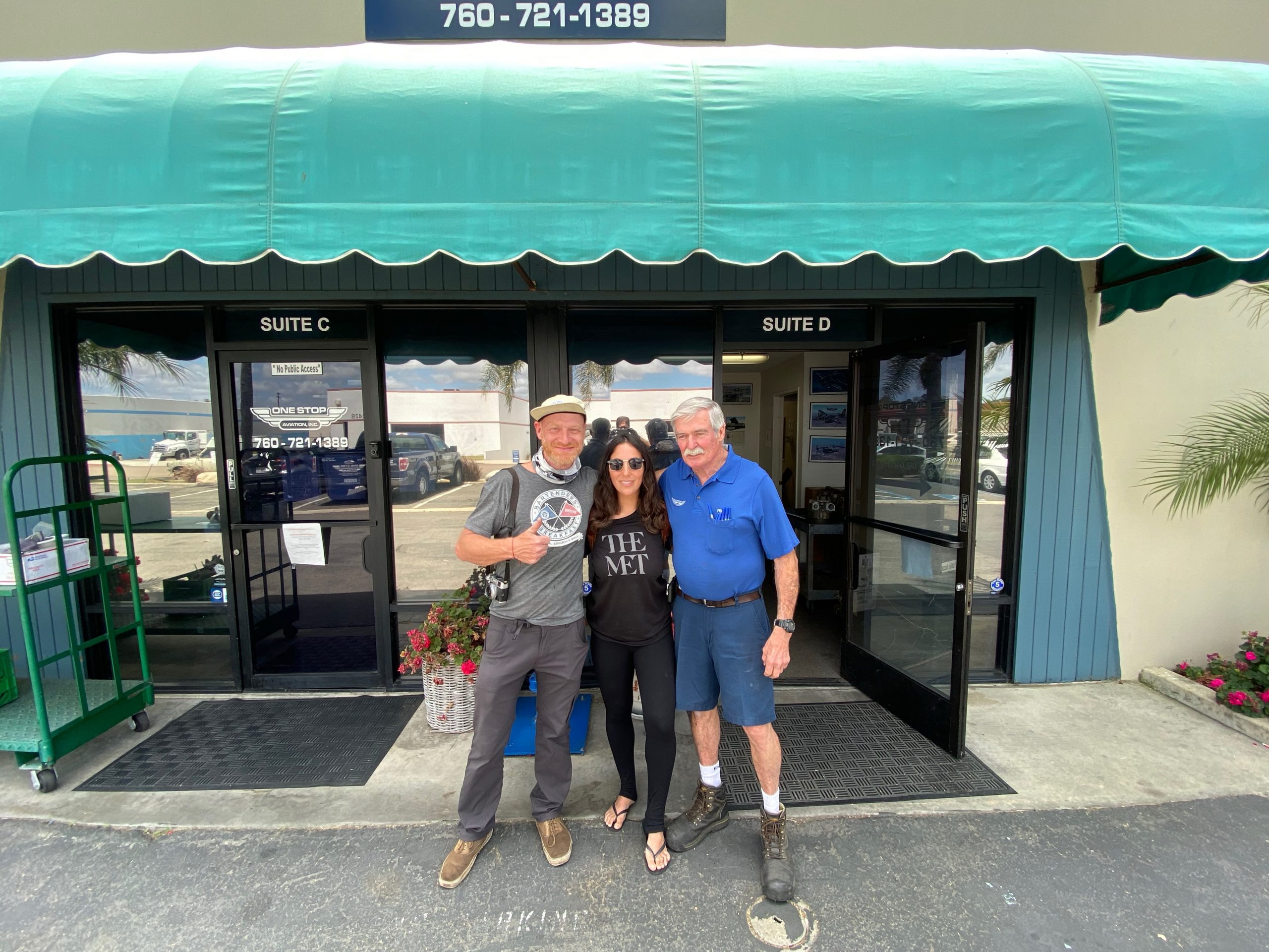
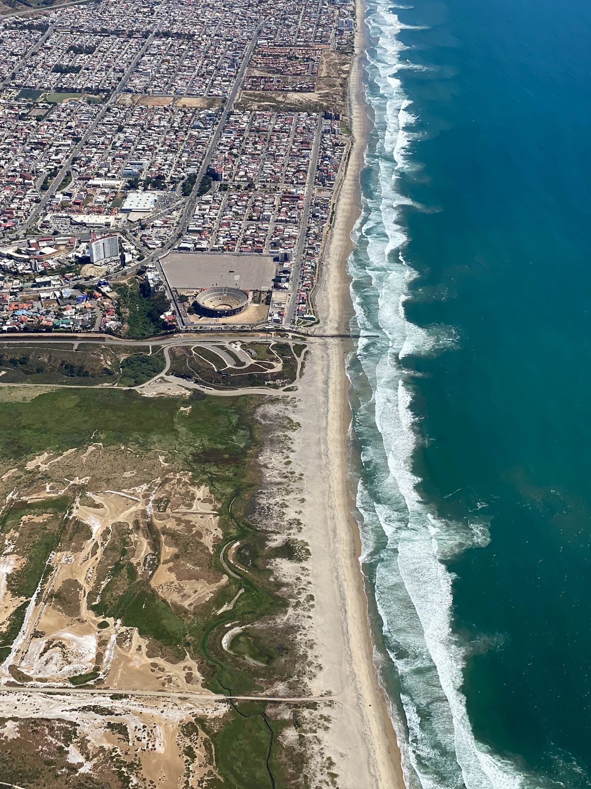
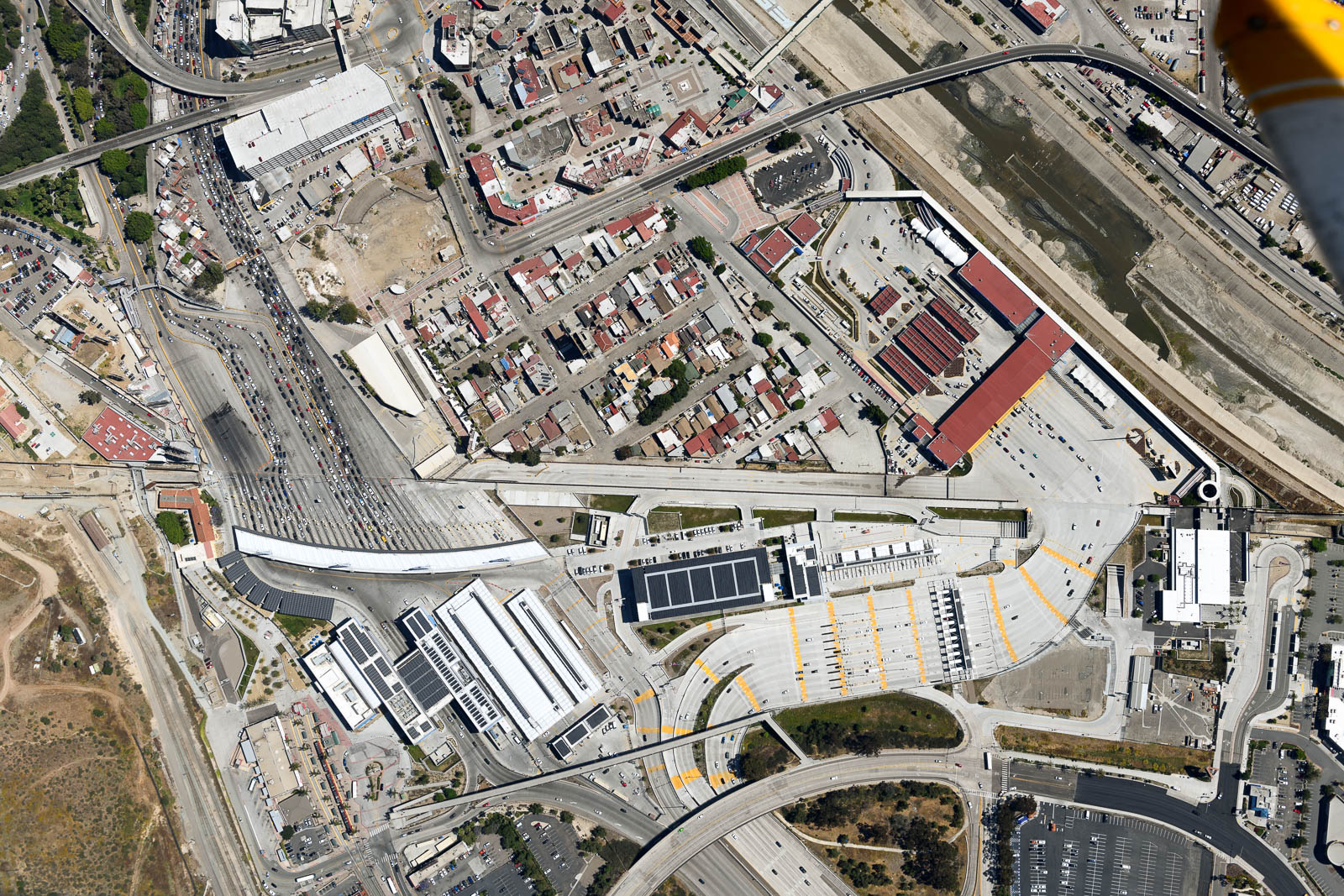
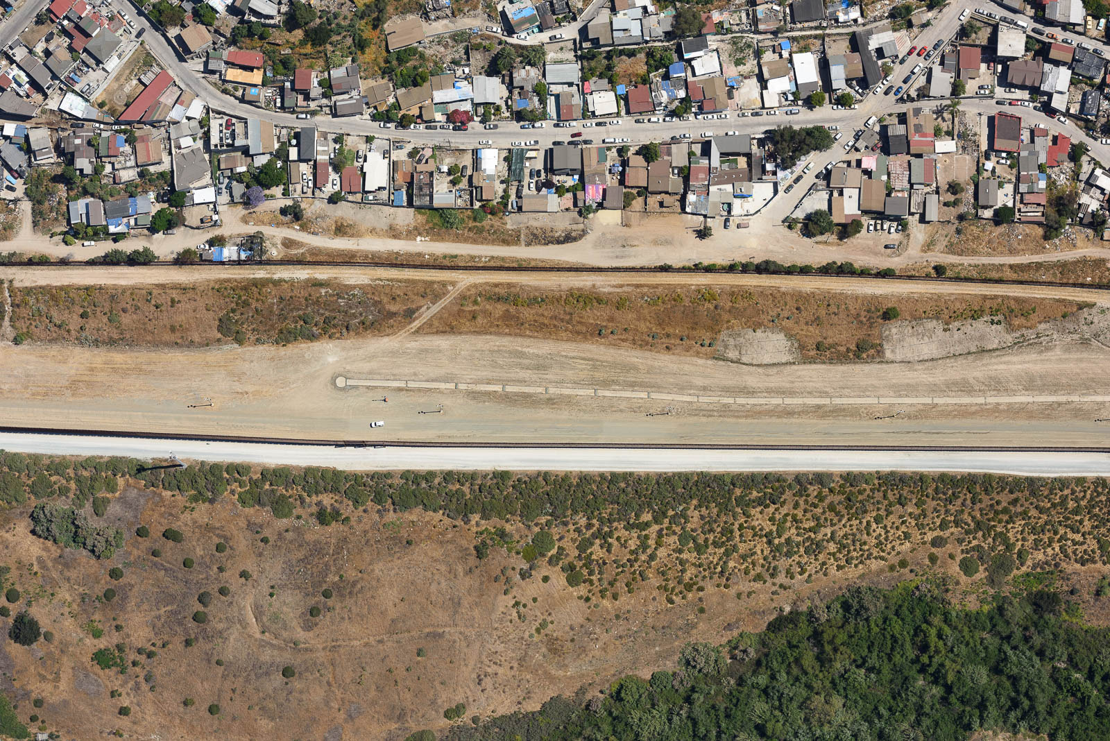
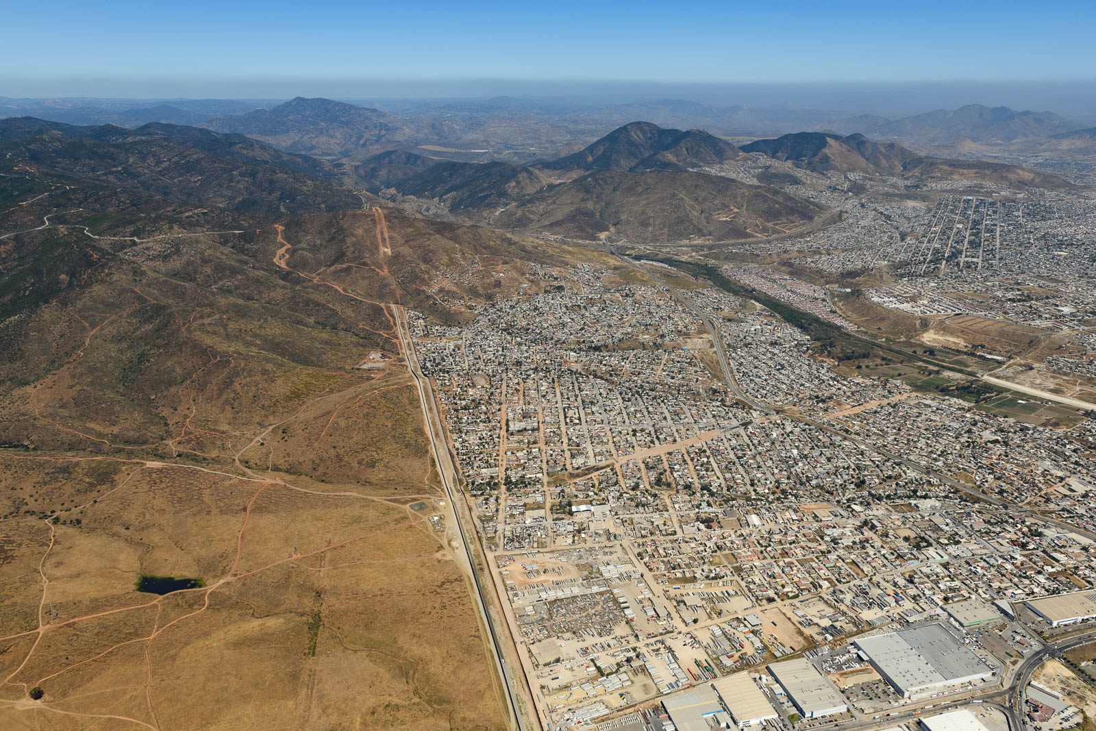
After some thought, we decided this route was the way to go, and we headed back to the shop to do some new preliminary route planning. After deciding to camp on the field at Kern Valley that night, and determining a basic route for the next few days, we bid farewell to Keith, David, Kelly, Rick and the guys at the shop and headed to the airport. We had some exciting plans that afternoon. Before departing for the North, we were heading South, through San Diego’s Bravo airspace, to the border of the USA and Mexico. We’d called customs and the tower at Tijuana, and determined we couldn’t actually cross into Mexican airspace to photograph the border, but we could come damn near close. So we headed on down the coast through a surprisingly busy Bravo (the ATC controller was amazing, hope she sees this, she was a machine) and down below Brown airfield, where we alerted them to what we were doing. They gave us permission to circle south of their runways, and a couple stern warning to stay on the American side as I circled closer and closer to Mexico, my wingtips brushing up against the invisible line in the air. The border was pretty spectacular, there was a striking visual change immediately upon crossing into Tijuana, and a wall that stretched into the sea. Kind of crazy to see something that gets so much air time in person.
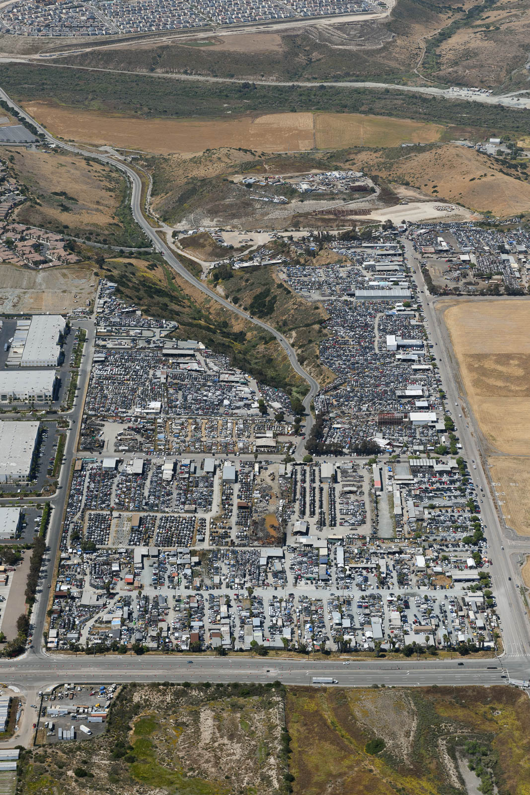
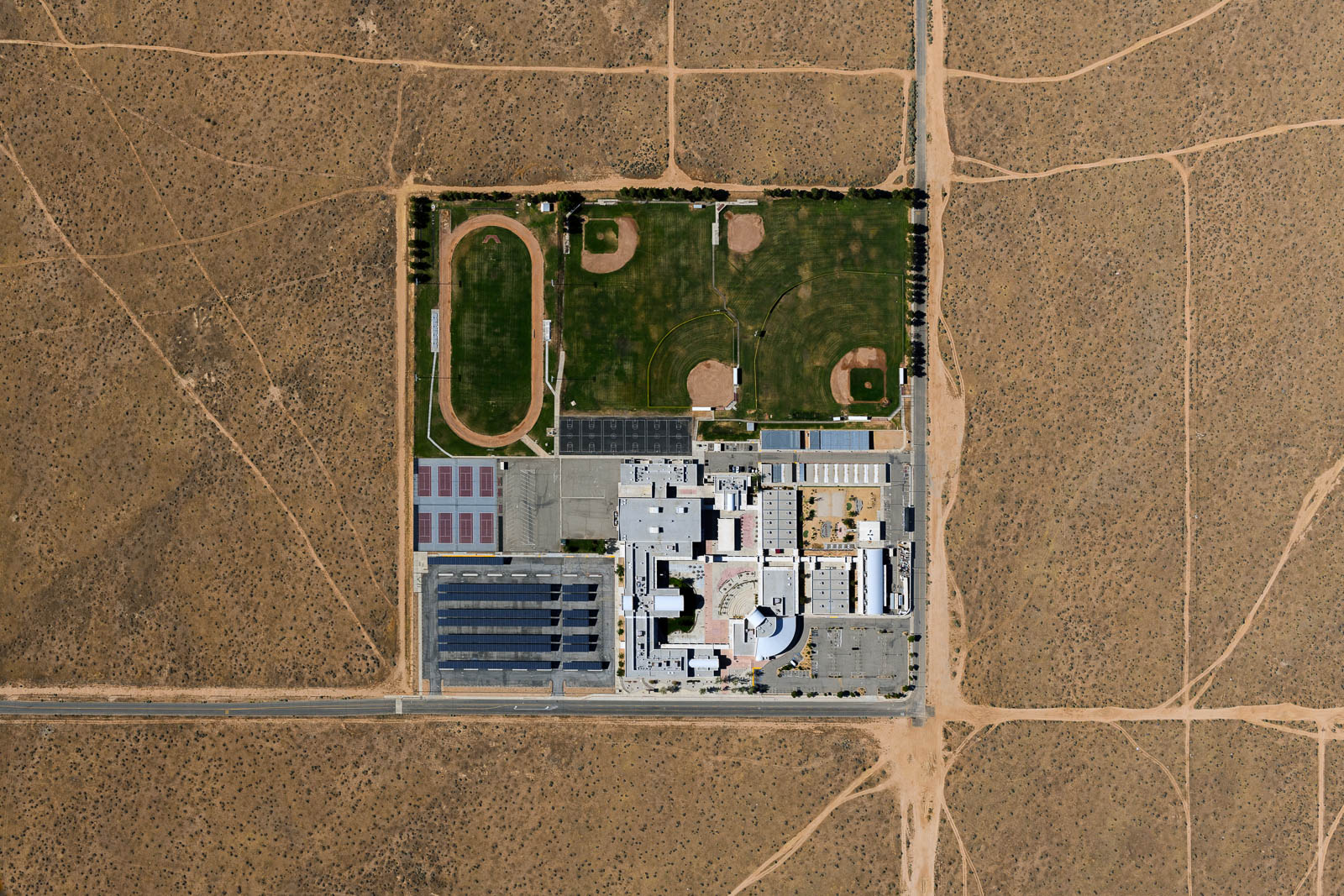
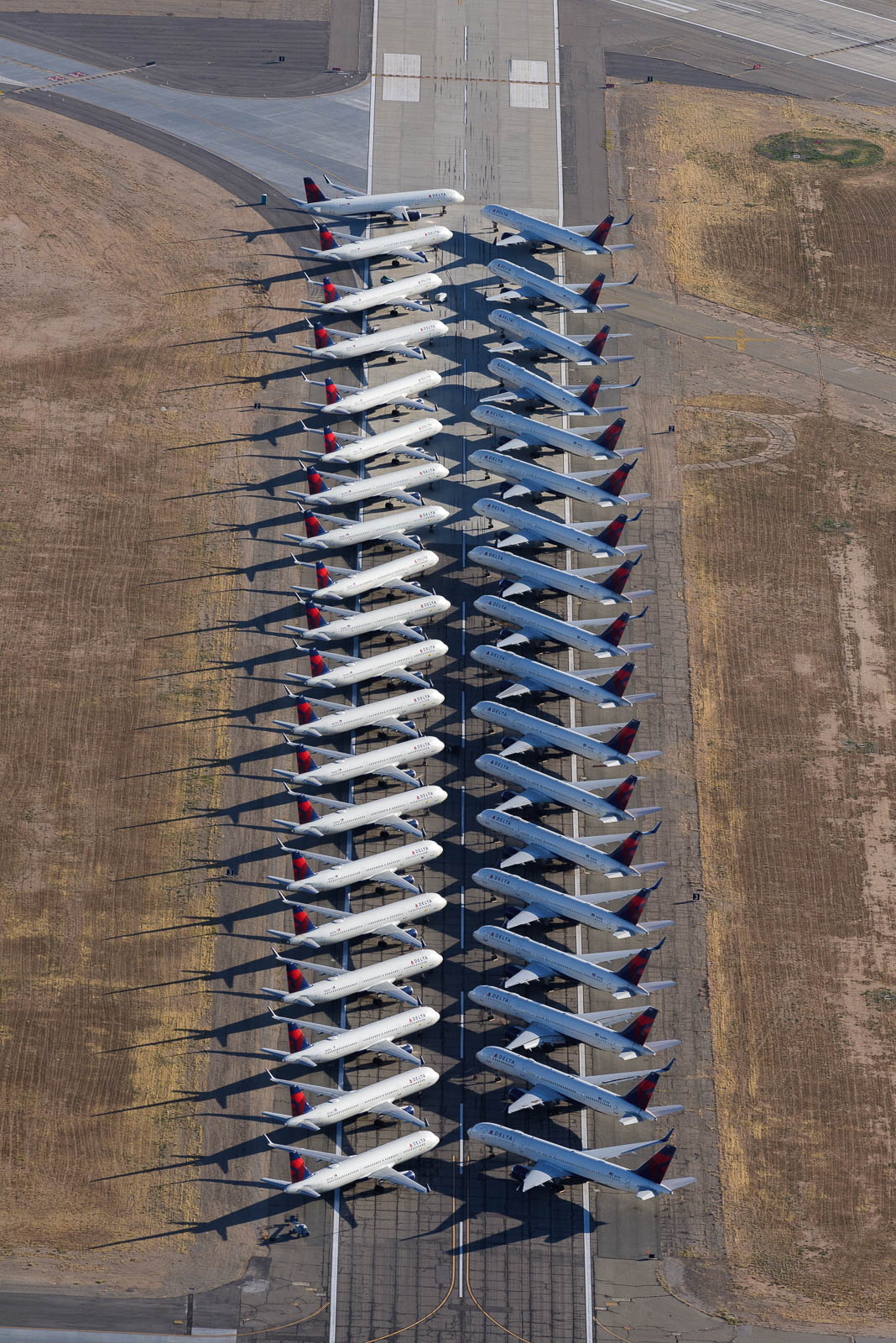
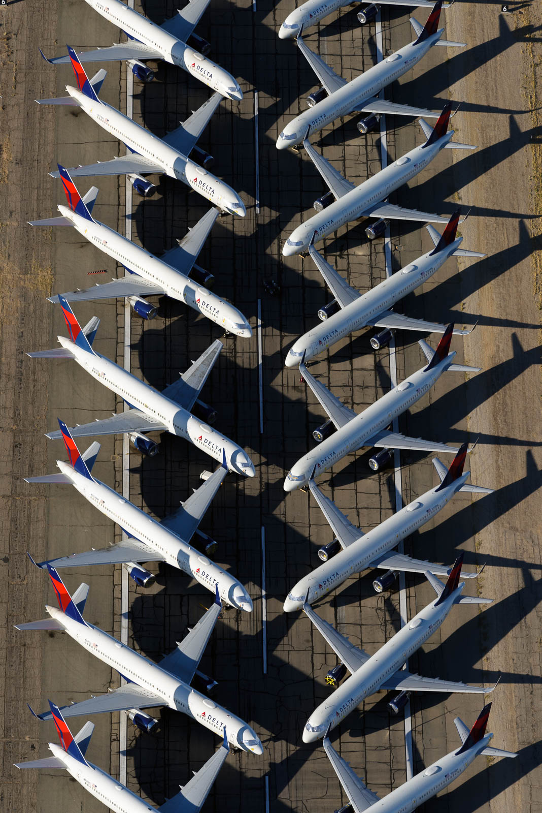
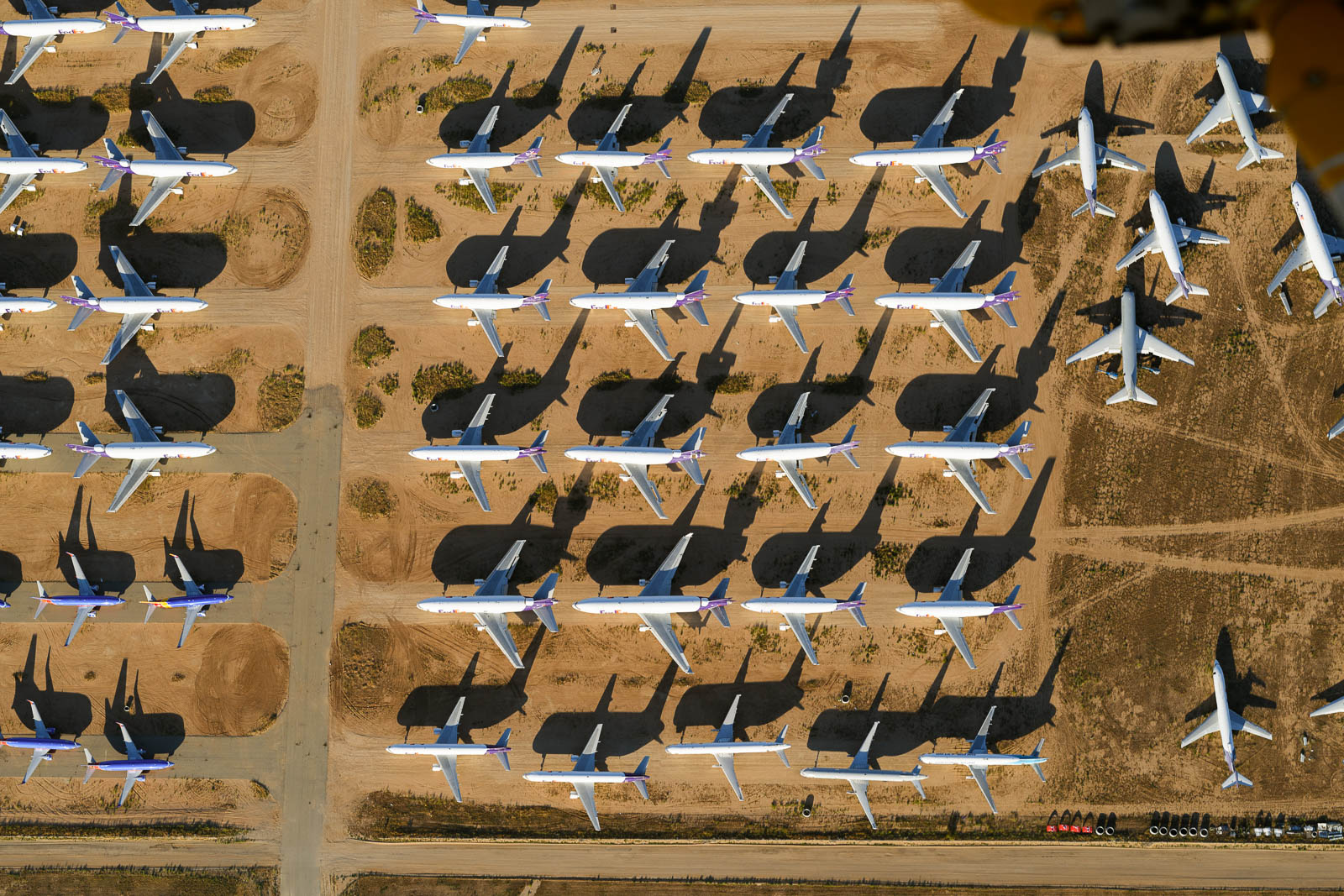
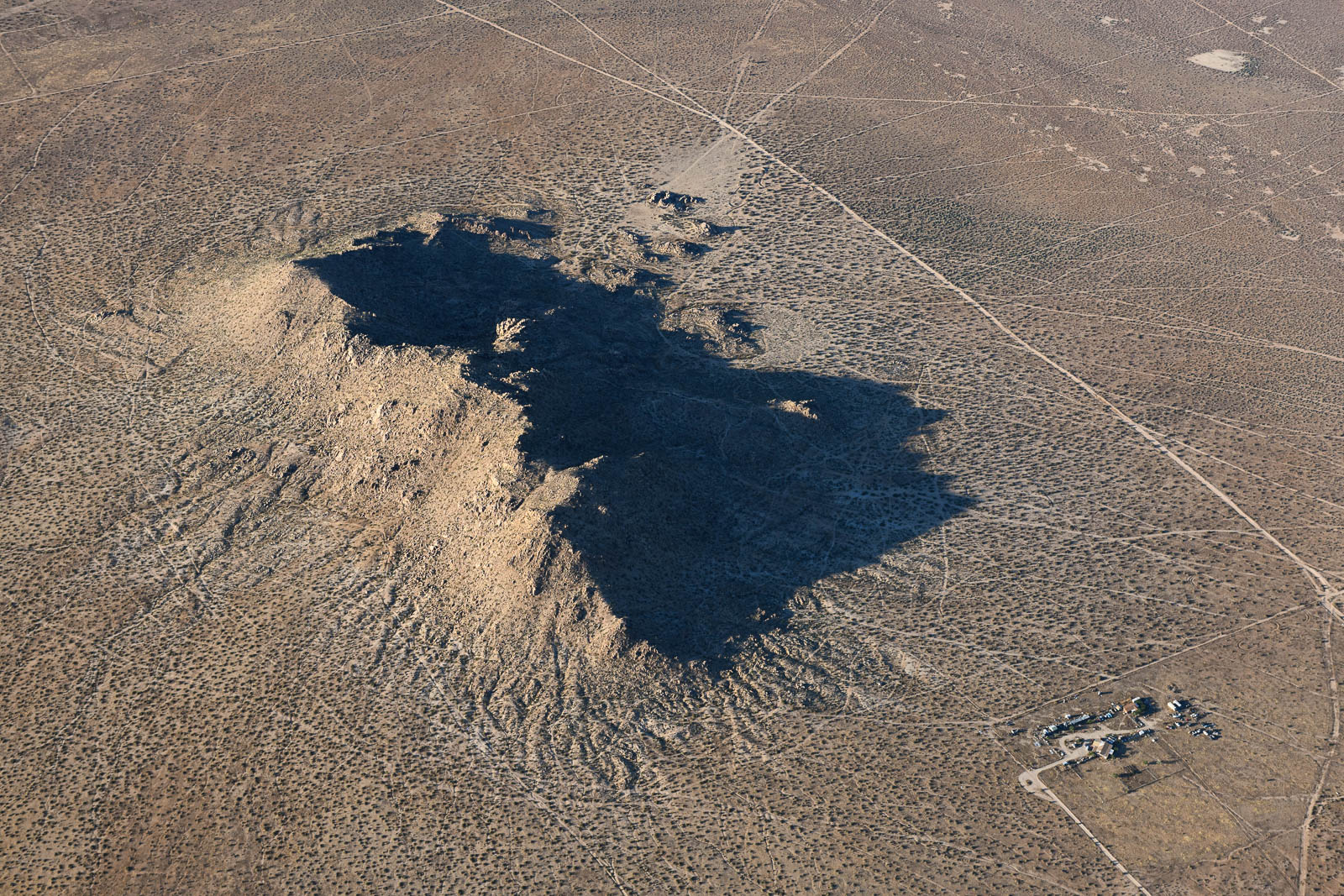
After we finished with this, we headed North to KVCV, an airport with another airplane storage and boneyard. It was lovely until another plane approached to do the same thing at the same altitude. I told the tower I was descending by 500 feet, but still felt slightly sketched out by this Cherokee who was clearly not holding their altitude, so we departed after we’d snagged the shots and pressed on to home at the base of the Sierra Nevadas.
The winds picked up pretty heftily, and after we landed at our last fuel stop for the night, Tehachapi, we realized that Kern Valley’s short runway without weather reporting in a valley with large mountains around it, was not the best plan. Happily, there was randomly airport camping on the field at Tehachapi. Sadly, it was shuttered due to Covid. The sun was sinking below the horizon and winds were building so we decided to chance it, and quietly and minimally set up our tent in the furthest campsite from the ramp to be inconspicuous. Immediate karma! The sprinklers came on an hour later. Drenched and screaming, we tried to cover up the worst of the sprays and save any non waterproof items around.
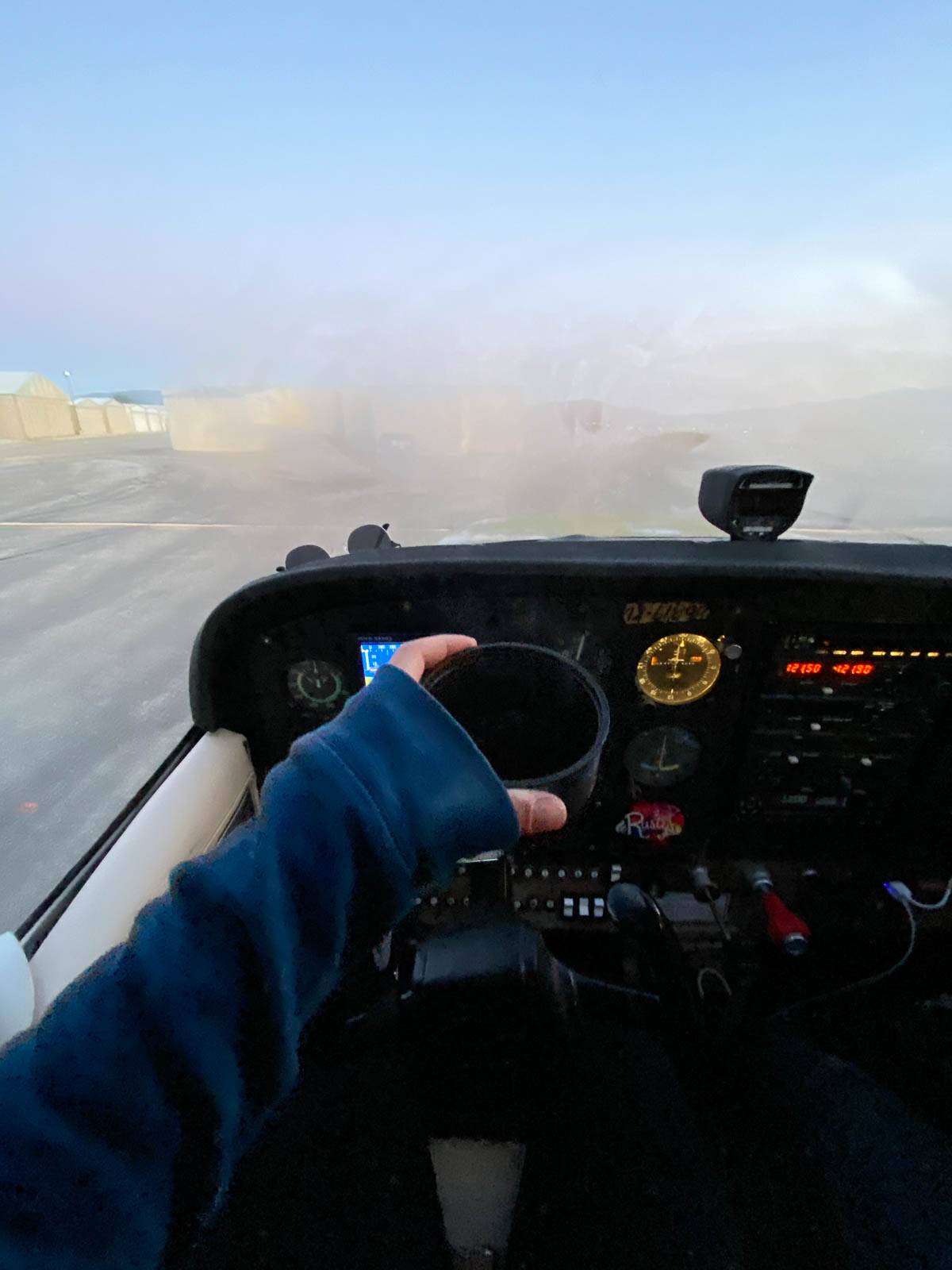
Only marginally successful at that, we passed out early, for a 4 am wake up to hit the sky for sunrise.


Flight Path
[sgpx gpx=/tracks/stratux/gslog_2020-05-20.gpx summary=1 uom=5 gheight=200]