Day 12 - Salt of the Earth
Thursday, May 21, 2020
Day 12
The night in the tent with a half inflated air mattress, soaked clothes from a karmically inspired, semi evil sprinkler system, and a train that passed by every hour on the hour wasn’t exactly restful, so when our alarms went off pre 5 am, there was a moment of pure dread. But we remembered where we were and what we were doing and got up, packed up, and took off into the rising sun.
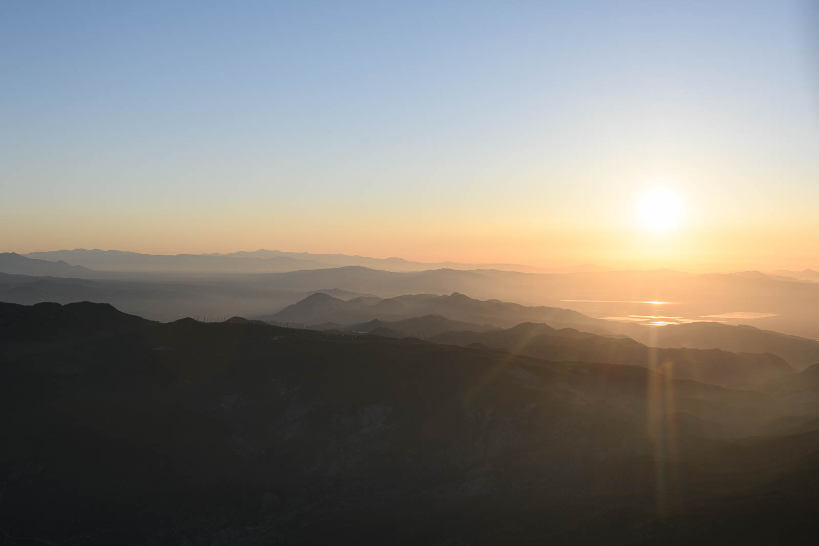
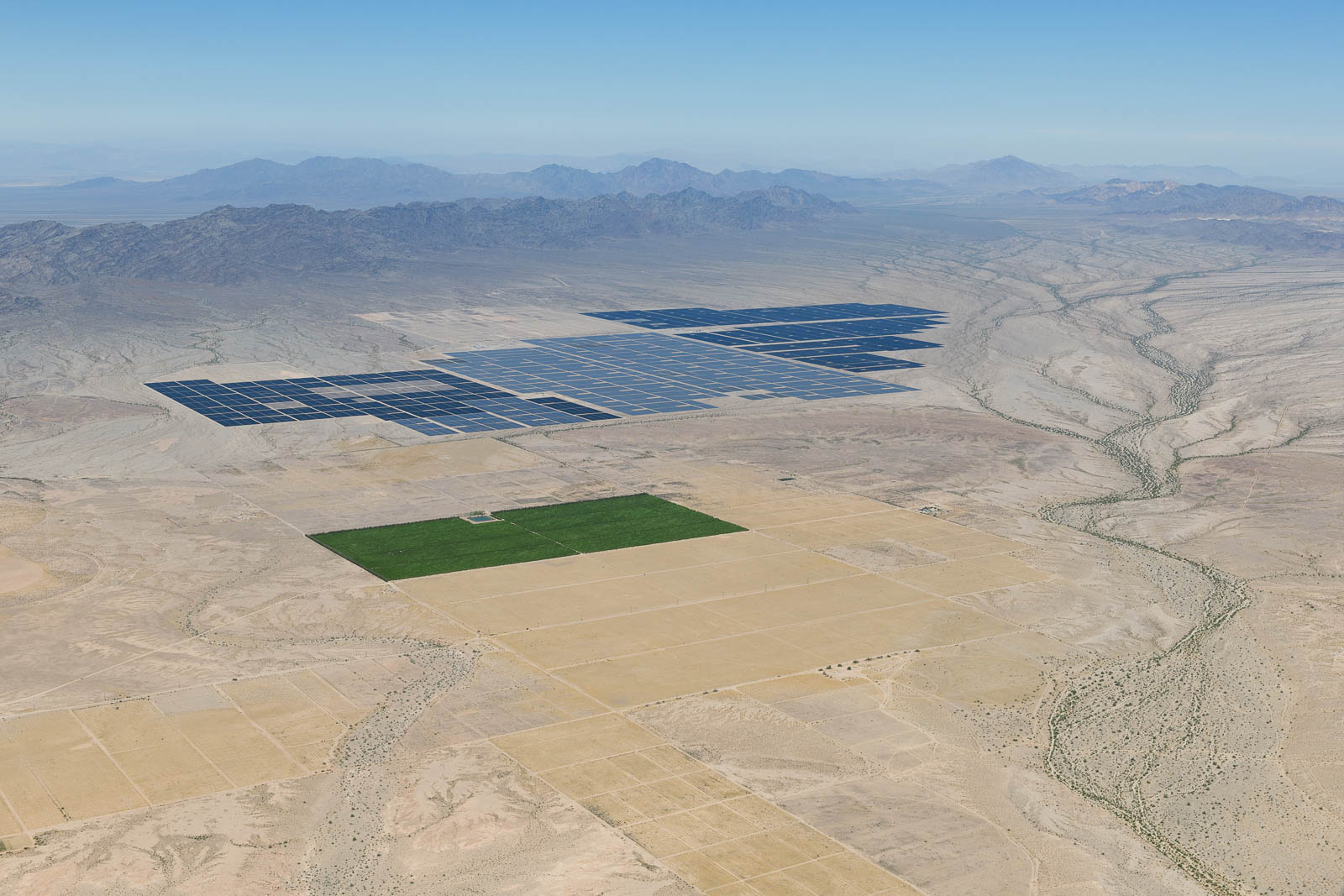
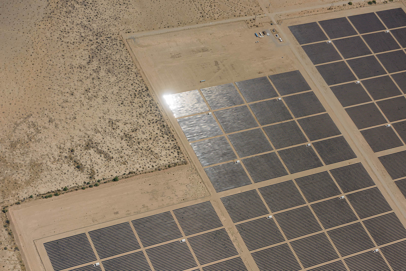
We had plotted a route through high peaks that took us through winding mountain passes and restricted flying areas and led us directly to the venerable Death Valley, in the northern Mojave Desert. The expansive desolate stretch of land was vast and intimidating and I descended into it with a sense of respect bordering on awe. The ground below us was actually below sea level. It is one of the least inhabitable places on Earth (I had insisted we pack more water for this stretch of the trip, just in case). I had some indescribable fun doing slow descending steep turns into the desert as Filip shot out the open window. Besides flying through Glen Canyon above Lake Powell, this flying took the cake for the most extreme and visually exciting to date. We even saw a crazy drone flying across the valley. We flew the valley northbound and then cut across the Spring Mountains, talking to Nellis approach, bypassing some military training flights, and landed at Northern Las Vegas for some fuel—both for us and the airplane.
We had lunch at the airport restaurant Tailwinds and Sunshine, which was filled with old flyers catching up with friends. Servers wore masks, but beyond that, very normal; the atmosphere was friendly and had a small town airport feeling, someone was celebrating a birthday, and they gave us all a slice of their cake to celebrate.
We finished lunch and some photo work, and went out, fueled up, and headed up for our next leg, a long, desolate, high altitude one with no possible fuel stops and lots of peaks and valleys to weave our way through. This kind of flying is still new to us in the Skyhawk, and it’s been an interesting challenge learning limitations, running performance numbers, and gauging energy based on wind, terrain, altitude, temperature, and weight. For example, getting out of Vegas required us to do a climbing 360 degree turn to gain altitude before pressing on to our routing, we simply weren’t climbing fast enough to get to our cruising altitude before steep terrain rose to meet us.
It was a beautiful leg winding our way North to Wendover, an old air force base with a lot of interesting old airplanes and a little museum. After we fueled there, we were stoked to see four military trainers barreling in—they taxied over and parked right in front of us in a line. Such formidable looking machines, they seemed extremely fun to fly.
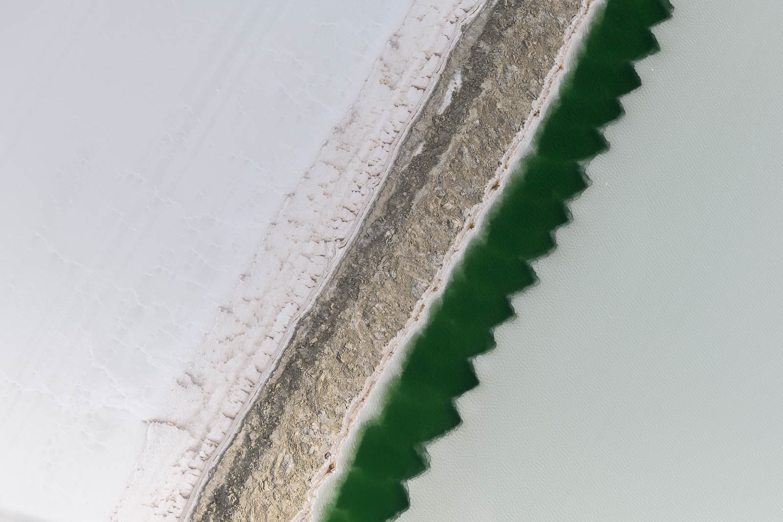
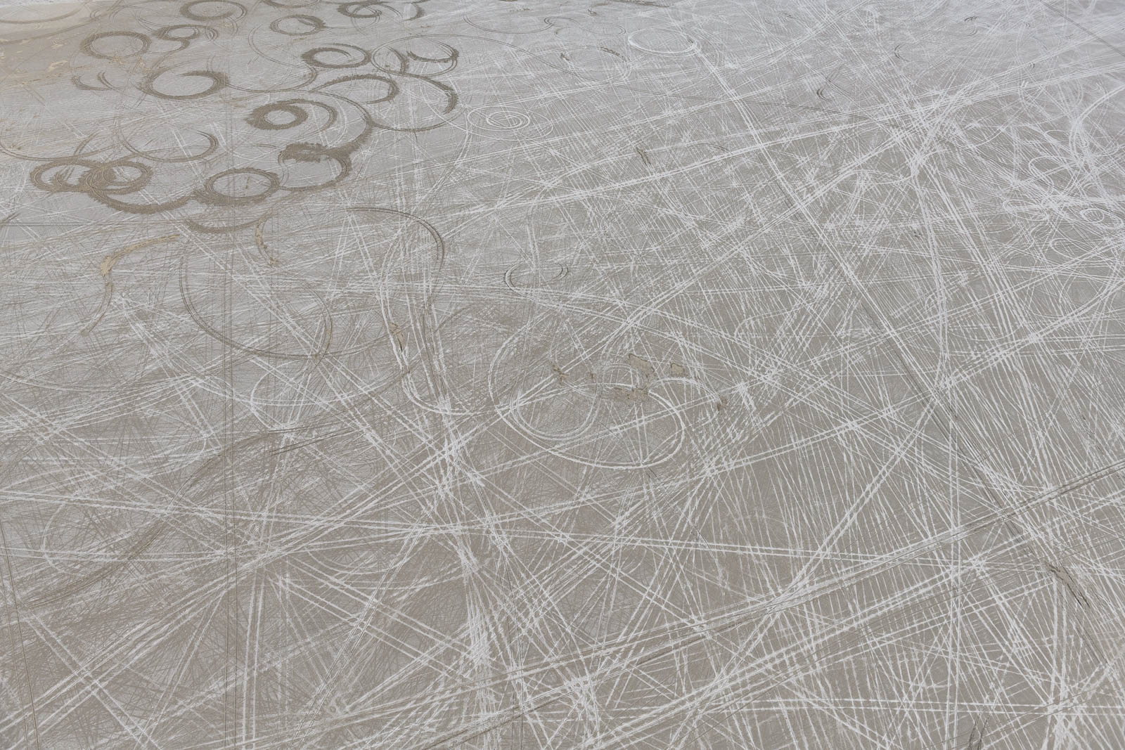
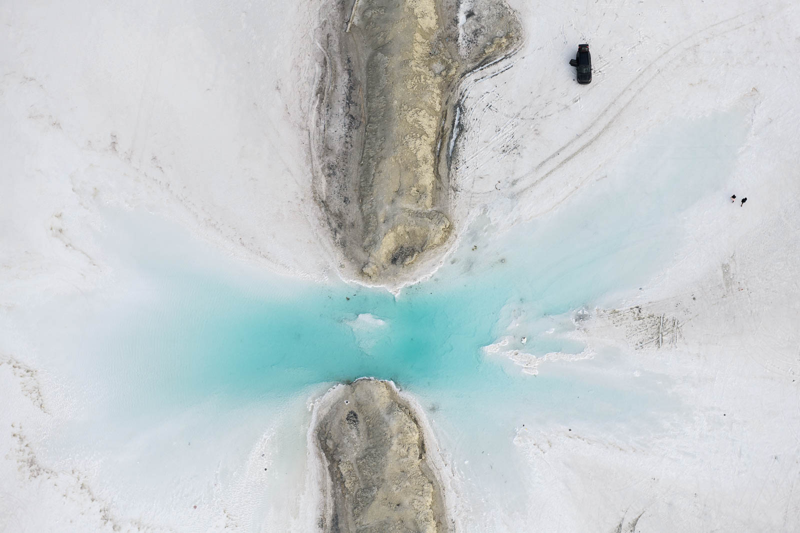
We taxied our mighty Skyhawk away from their impressive lineup to runway 26 and I took off to do some of my favorite flying of the trip—low and slow over the Boneville Salt Flats. This place has always fascinated me in photos I’ve seen, the color that the waters take on in the salt lakes are a turquoise blue like that of the Bahamas, and this paired with the white, salty earth—is there anything better? I had some fun staying super low over the pools and flats; circling as Filip took photos from the window. It was a Utopian alien tundra of a place, and getting to fly over it as we pleased was spectacular. We saw people out enjoying the day on the expansive white salt pan, they looked so small and isolated when placed in such an environment, we circled over them, observing them observing us.
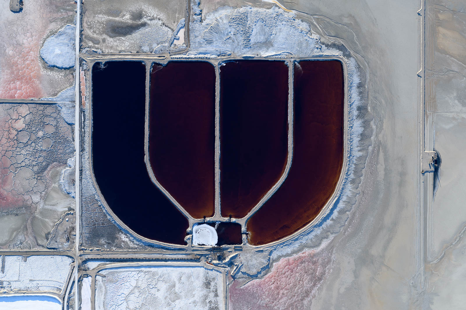
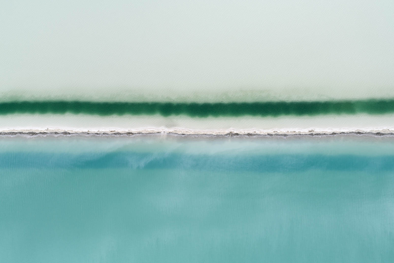
After some wonderful flying there, I pressed on to Salt Lake City where we would be spending the night in Bountiful, Utah. To my utter delight, though perhaps I could have guessed from the name, more salt lakes awaited for us there! I can feel an obsession growing. These shining colorful pools of water, gleaming and reflecting the sky, were incredible to fly over and photograph, every turn I made revealed more interesting beauty to see and shoot.
That rush of pure wonder really gave me the lift I needed to get me through the fatigue that had begun after a long day of nearly 9 hours of straight flying and a night with less than adequate sleep—the controllers at Salt Lake were super helpful in directing me through their I80 VFR transition to the field at Bountiful, and I landed softly on runway 35 as the sun set on another day.
Photo Gallery
Click on the image for full-screen viewing experience. All photographs © Filip Wolak.
Flight Path
[sgpx gpx=/tracks/stratux/gslog_2020-05-21.gpx summary=1 uom=5 gheight=200]
Day 10 – Rusty over LA
Tuesday, May 19, 2020
Day 10
We slept in a bit in Ramona, and one of the guys from the airport was kind enough to swing by in his truck and give us a ride back to the plane. The day prior, we’d noticed a burning smell as we were navigating the low clouds on the coast and had discovered the landing light wire bracket had snapped and the wire was melting in the heat of the number 2 cylinder—so the days plans included fixing that.
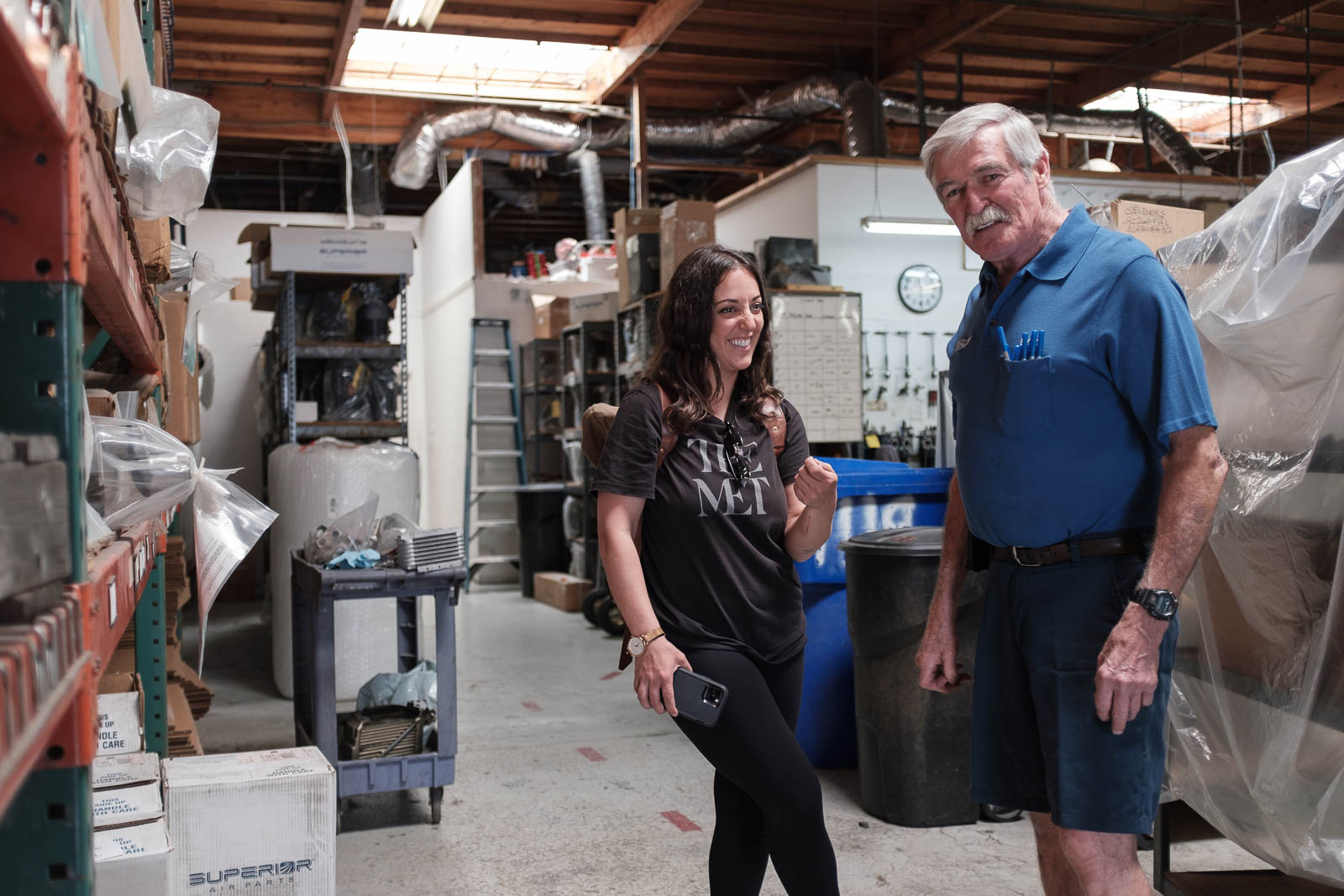
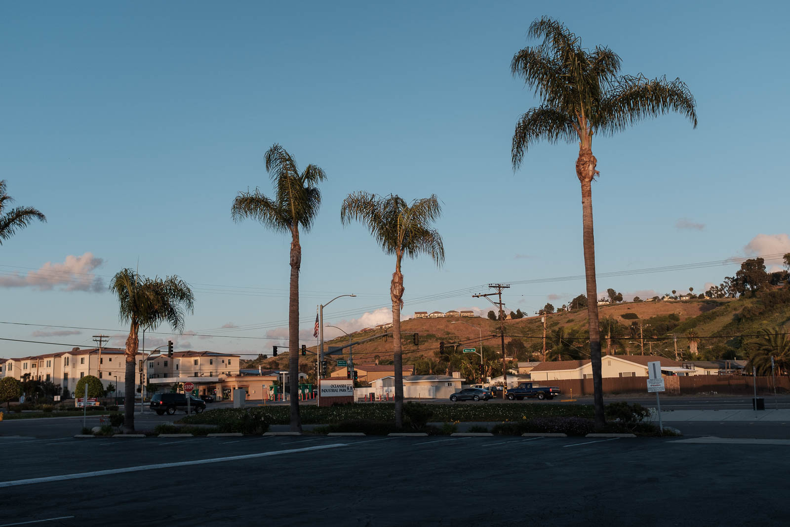
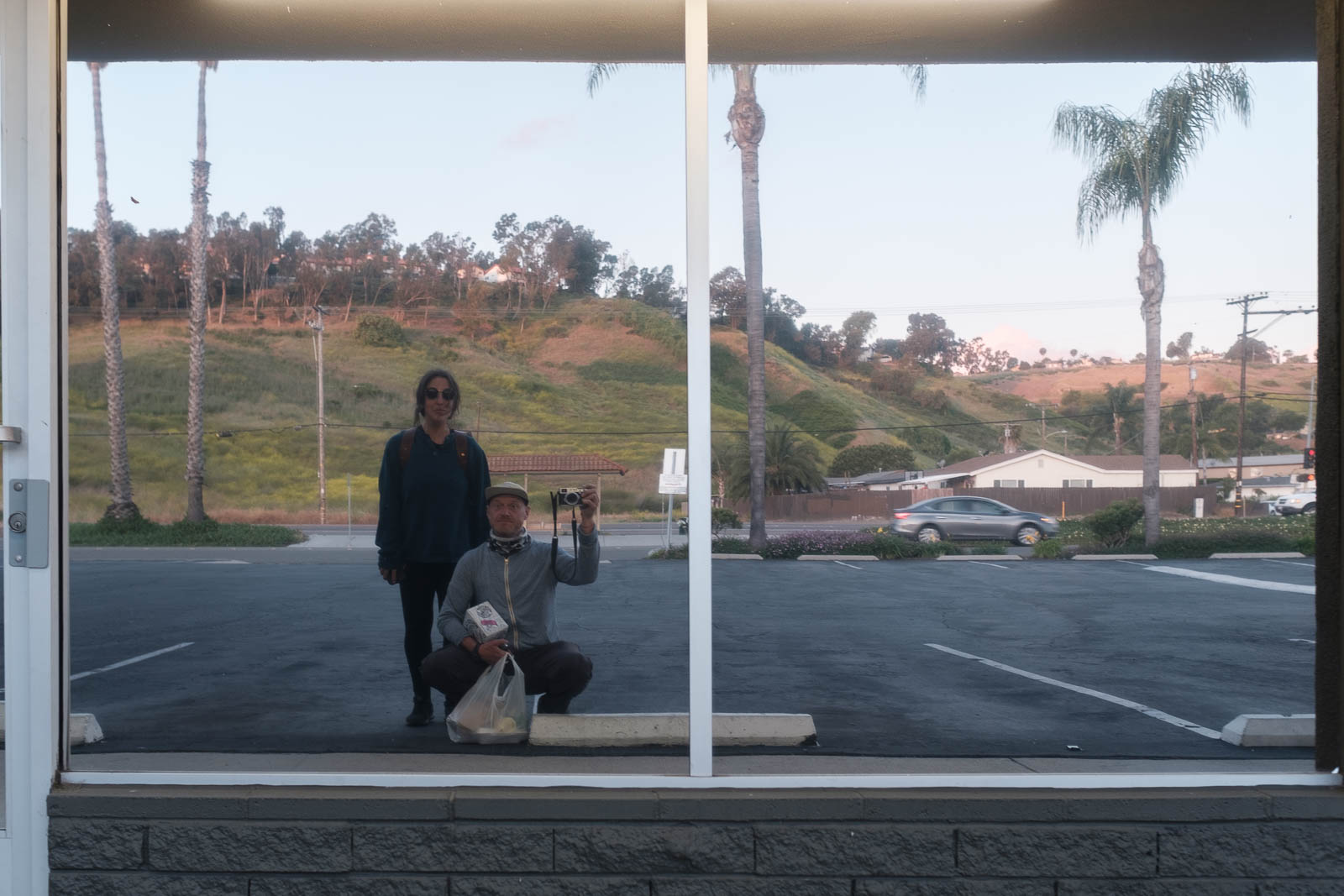
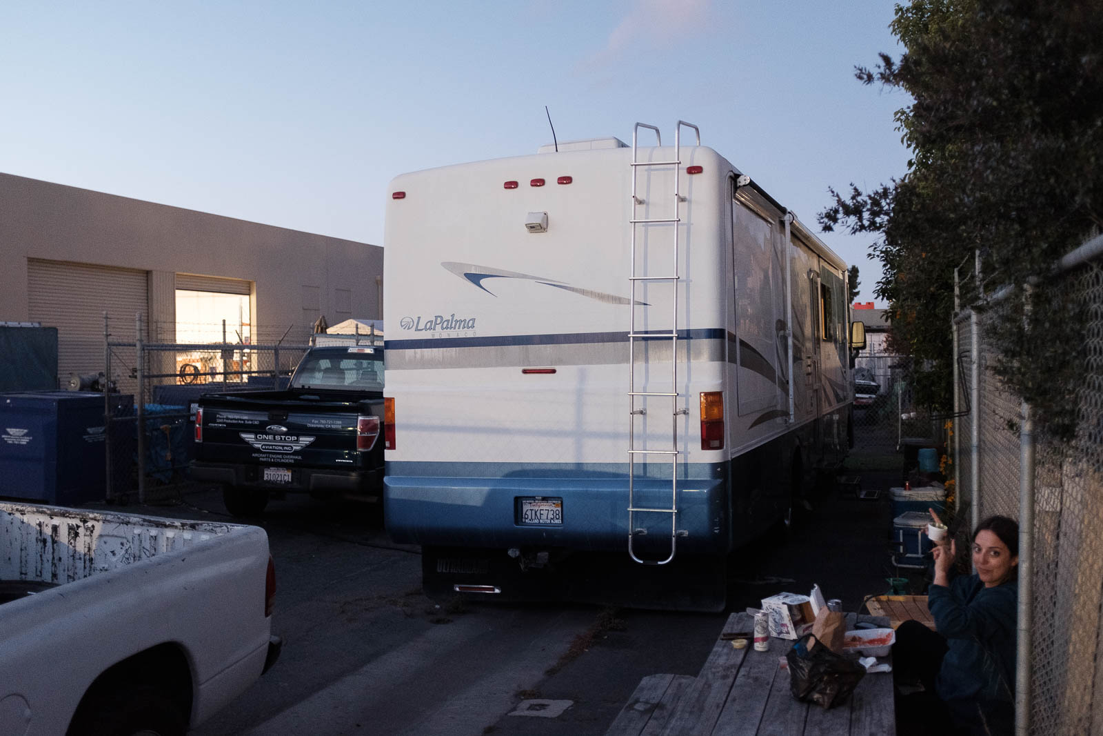
We fueled minimally in Ramona and then made the short hop to Oceanside on the coast, a far less eventful flight the day before. There we met with some great guys from One Stop Aviation, who brought us over to their main workshop, where we got to meet Rick, the owner, who had overhauled Rusty’s engine a month prior! It was really fascinating to tour the shop with him and see all the work and gear it takes to work on these engines, he had Lycomings and Continentals from all across the world in various stages of repair. We told him a little about our trip and he offered to let us stay in his camper behind the shop—so kind. We accepted, and headed back to the airport to do some repairs and get flying.
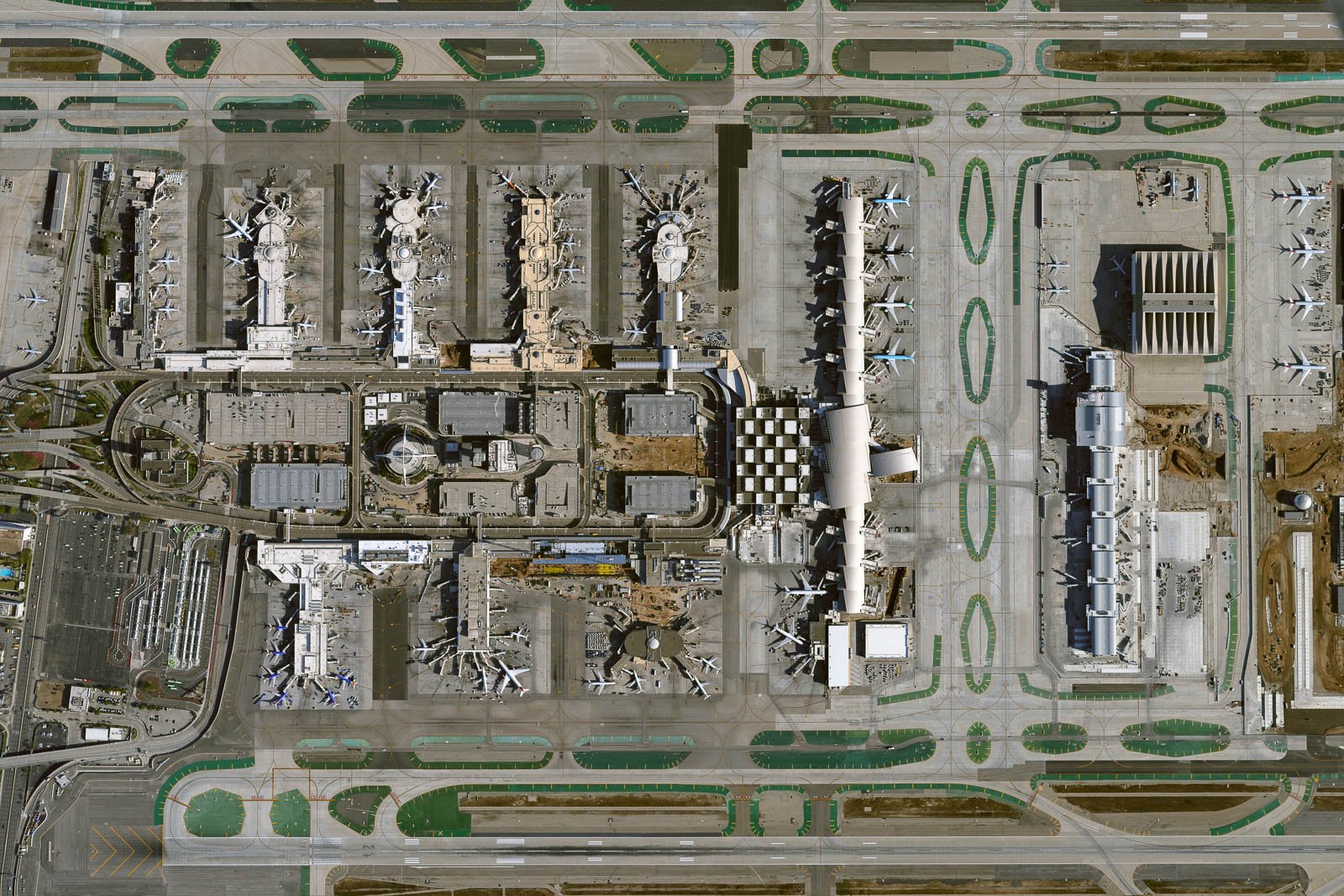
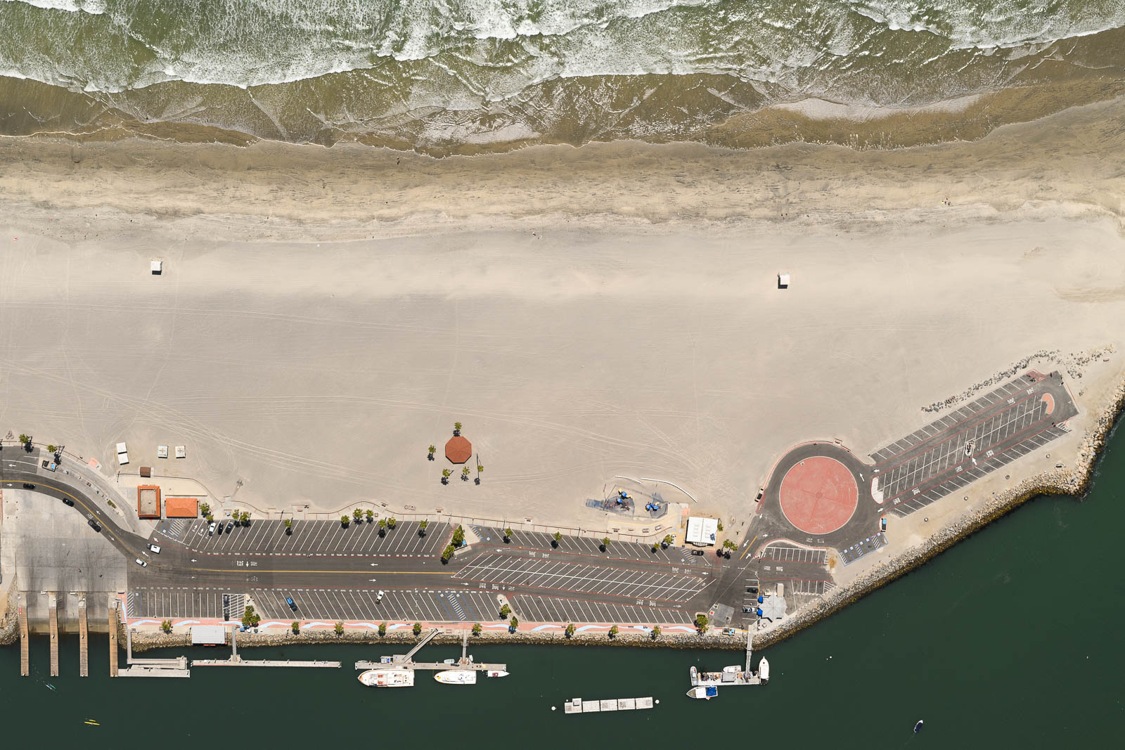
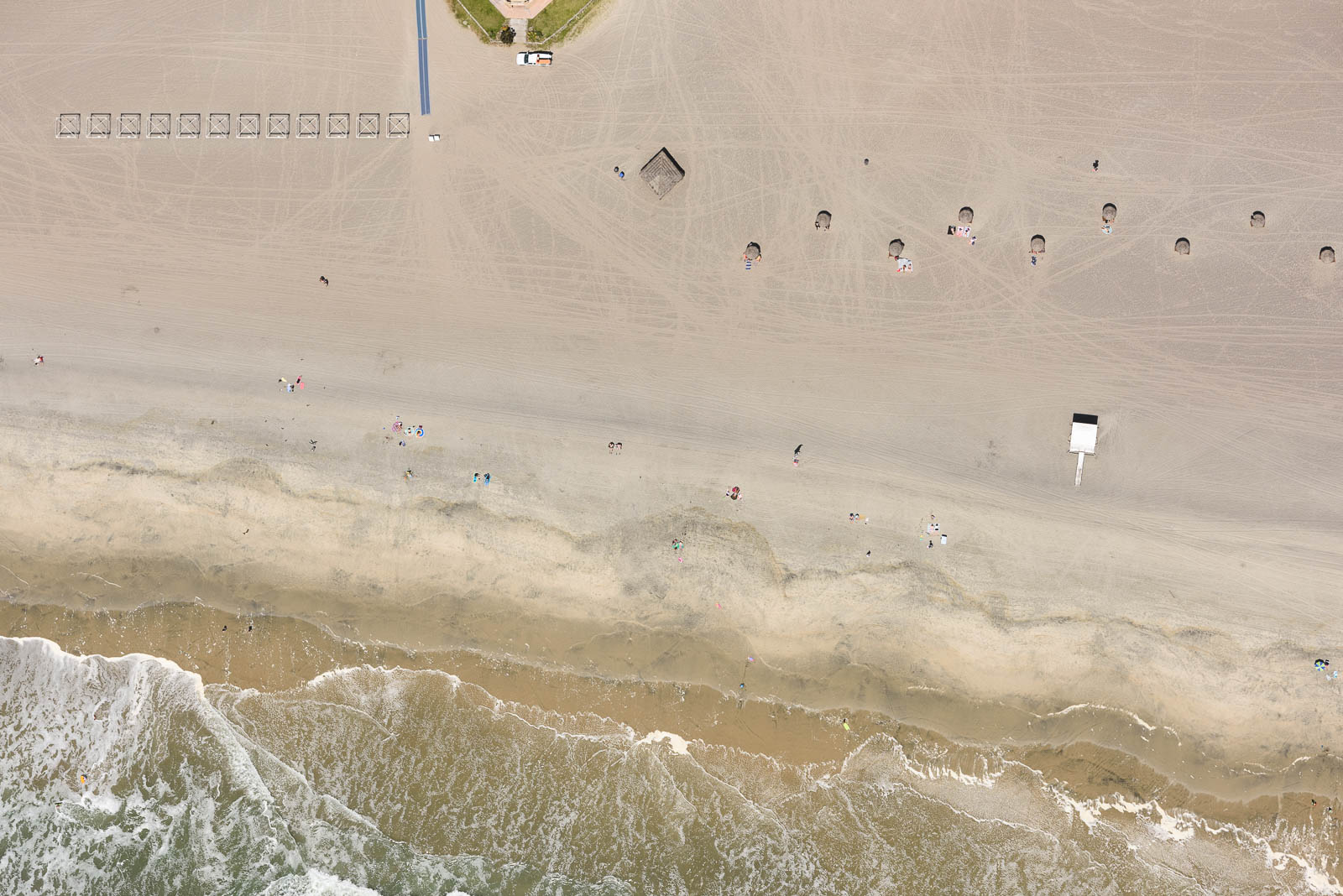
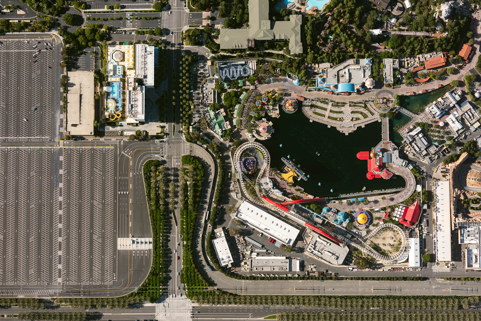
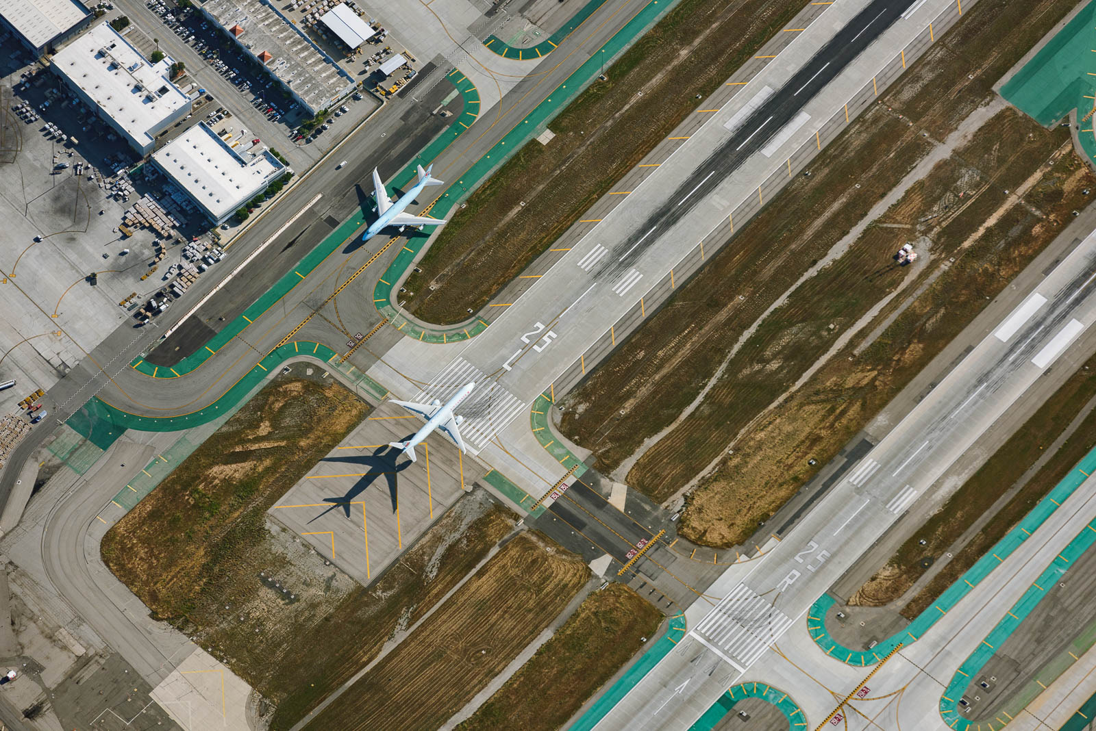
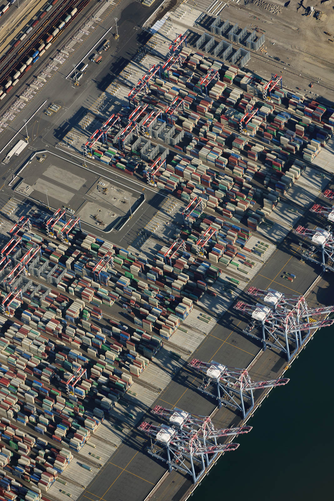
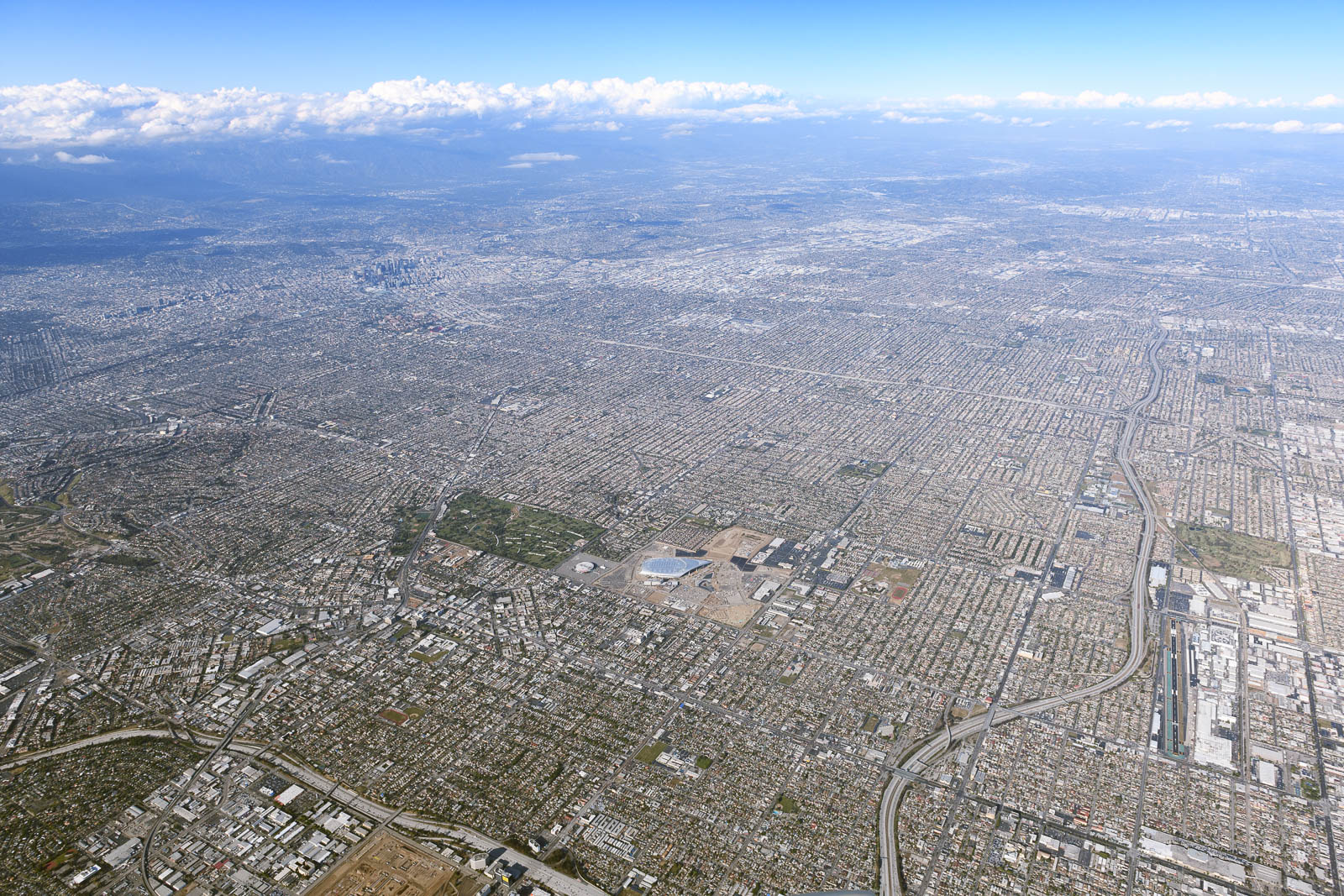
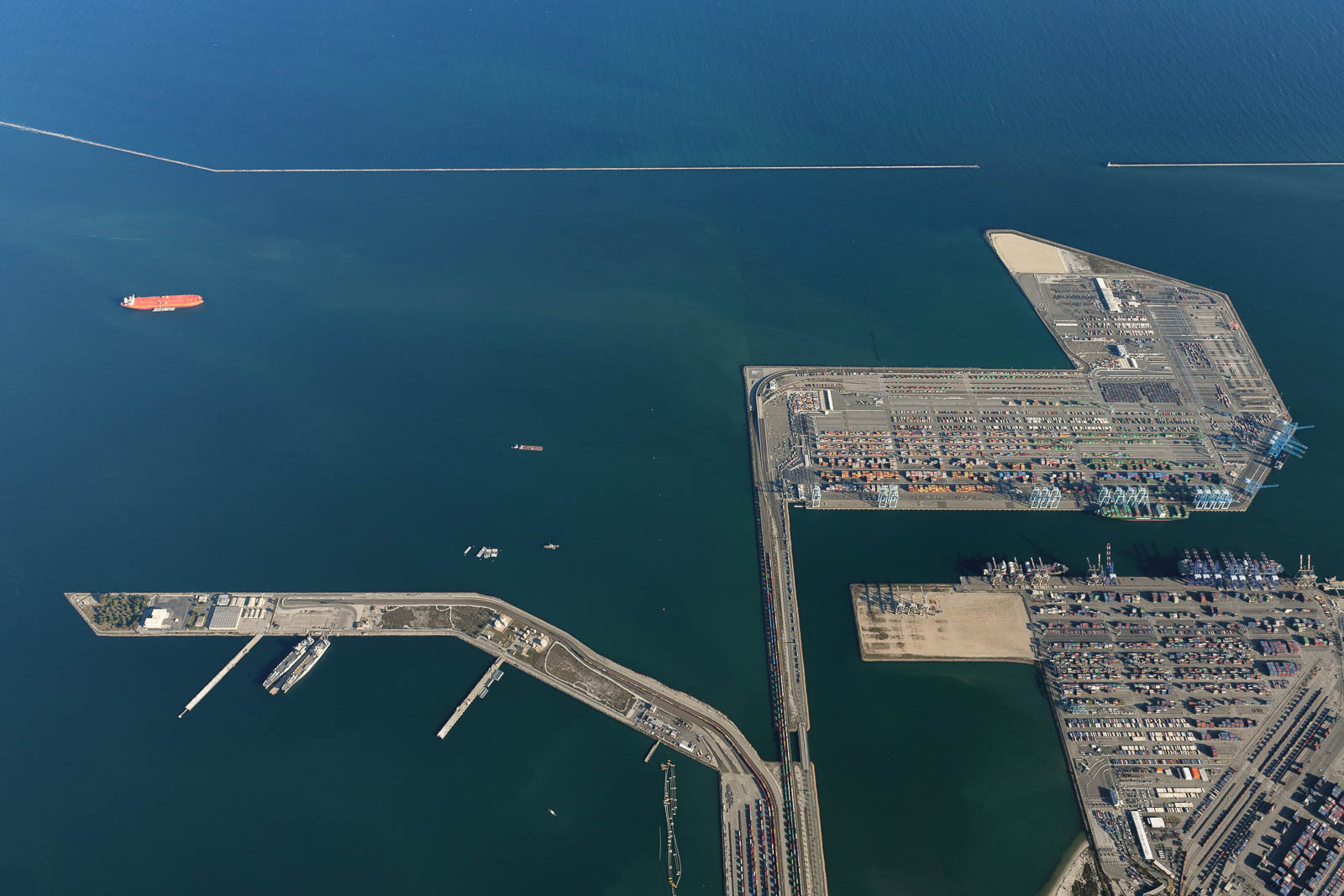
After some work, the plane was good as new and we took to the sky. Today our plans included photographing LAX at 10,000 feet above the Bravo airspace, where we wouldn’t have to talk to ATC and could circle and shoot to our heart’s content. We also circled low over empty beaches and Disneyland, with bare empty parking lots as far as the eye could see. It was wild flying above places that were usually so populated, and it was surreal to be above LAX—besides seeing the ocean, that really hit home that we had officially made it coast to coast. The shooting was fantastic, circling high above that iconic field, and so, so cold—about 25 degrees Fahrenheit. There’s nothing like tossing open the windows at altitude to shoot in those temperatures like that to make you feel completely awake and alive.
After we circled for a bit shooting and freezing, we headed back south to land at Oceanside, descending out of the Bravo airspace. I was ecstatic to be flying low along the coast, over the ocean and palms. It’s my favorite thing in the world.
We were happy and tired when we landed and taxied behind our mechanics hangar to tie down before heading over with new friend Keith to the shop camper, grabbed some Mexican dinner, and passed out early. California suits us real well.
Photo Gallery
Click on the image for full-screen viewing experience. All photographs © Filip Wolak.
Flight Path
[sgpx gpx=/tracks/stratux/gslog_2020-05-19.gpx summary=1 uom=5 gheight=200]
Day 9 - California Dreams
Monday, May 18, 2020
Day 9
Waking up on the airfield campground in Payson was magical. We awoke with the sun, light spilling over the plane and our campsite. It was immensely satisfying, knowing that California was on the horizon.
We got ready and returned the little airport car we had been given for the night. We took a little too much fuel and were heavy for the higher elevation, so we made sure to increase our takeoff roll in order to gain speed to climb out effectively. We got off the ground and climbed high over the mountains, navigating by the Blythe VOR—our friend Tracy in Stamford TX had suggested this—which would take us through the Banning Pass to the coast.
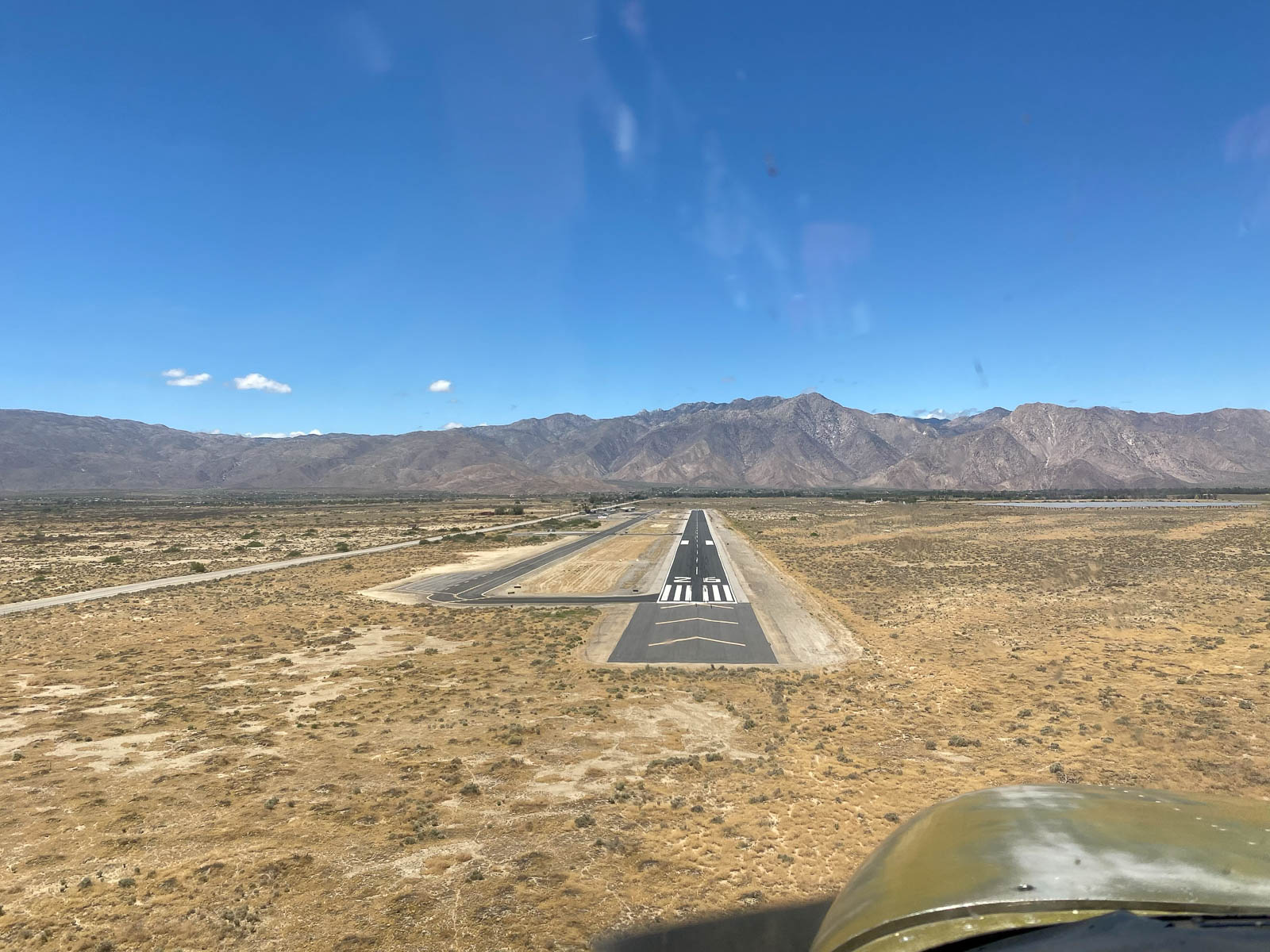
We had desired to fly direct to Oceanside Airport, where the mechanic shop One Stop Aviation was located, as they had overhauled the Skyhawk’s engine a month before and we wanted to “meet the parents.” However, strong headwinds at altitude foiled this plan, and we stopped to take a little extra fuel at Borrego, a dusty desert field just before the final mountain stretch that would get us to the ocean.
We fueled and departed quickly, and climbed to cross the mountains ahead. The ceiling was steadily getting lower and the weather was becoming more and more marginal at our destination airport. We crossed the mountains and coastal California greeted us with fog and low visibility. Hooray! We decided to try for Oceanside anyways, as the weather was just on the edge, and headed there direct. The cloud ceiling was steadily dropping and hills and unfamiliar terrain was rising around us in every direction. We kept Ramona Airport in our minds as a deviation, and pressed on to try for Oceanside. My pirate heart leapt with joy at the first sight of the Pacific Ocean in the distance, but the weather became too unfriendly to make it into Oceanside, so I turned for Ramona and landed there.
A happy accident, for one of my best friends Dominique just so happens to live in Ramona! So we all shared a glorious socially distanced dinner and evening with her catching up and sharing stories. Great for the soul. California! We made it coast to coast!
Photo Gallery
Click on the image for full-screen viewing experience. All photographs © Filip Wolak.
Flight Path
[sgpx gpx=/tracks/stratux/gslog_2020-05-18.gpx summary=1 uom=5 gheight=200]

